


Mapeamento com Drones - Modelagem 3D do Terreno
Drone Mapping 3D Modelling
New mapping and cartography technologies, topography and terrain study.
Advanced map creation methods using aerial photographs captured by drones, which are then processed to generate a highly accurate 3D terrain model and orthophotomaps, enabling the measurement of distances, area calculations and volume assessments.
___________________________________________________
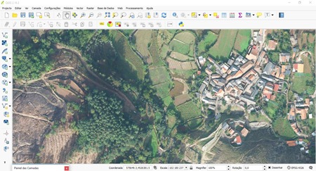
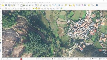
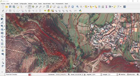
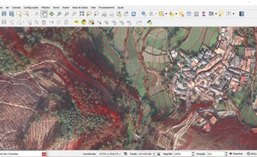
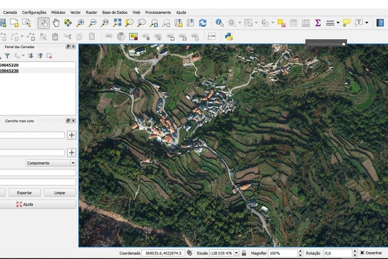
01. ORTHOPHOTOMAPS
High image quality maps with incredible georeferencing accuracy. Resolution up to 1.7 cm/pixel and centimetric precision.
02. OVERLAY TOPOGRÁFICO
Topographic survey of the terrain using drones and latest generation geographic information systems.
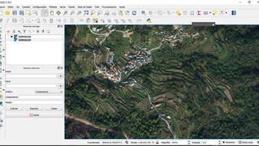
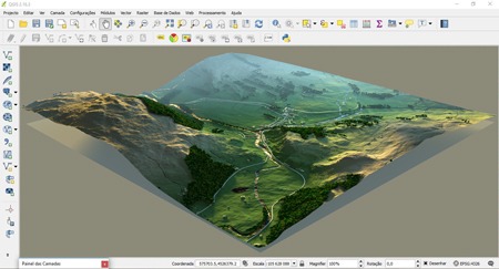
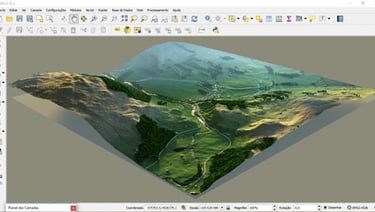
03. 3D MAPPING
Full measurement of distances, areas and volumes. Fully georeferenced and textured with high-resolution photography.
Quote request or
enquiries
___________________________________________________
____________________________________________________
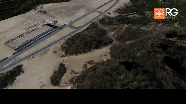
Drone Mapping
3D mapping in mountainous and wooded terrain.
Professional drones equipped with high-resolution cameras capture the terrain from above and collect data in the form of georeferenced photography, enabling the creation of high-resolution 3D terrain models.
Drone mapping operations have made orthophotography and high-quality 3D mapping accessible, providing a better overview of the terrain and faster decision-making.
3D Modelling
______________________________________________________________________________________________________________________________________________________________________________________________________________________________________________________________________________________________________________________________________________________
R. Almirante César A C Rodrigues
nº16, 3º ESQ 2790-009 Carnaxide
Lisboa - PORTUGAL
Telf.: +351 962 587 575


RG DRONES © 2010 - Rodrigues e Guimarães Lda.
Terms and Conditions
Privacy Policy
Returns and Refunds Policy