


MINAS e PEDREIRAS: Topografia com Drones & Cálculo de Volumes
Mines and Quarries
Precision computerised topography, material volume calculation and volumetric calculation of excavated areas. Monitoring, photo recording and 3D recording.
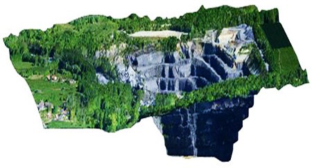
Volume measurement used to be a laborious process involving several surveyors and many hours of calculations to determine production volume and storage volume. With drones, the process is fast and accurate.
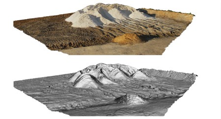
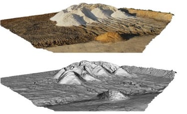
The use of drones in mines radically simplifies and speeds up the process of calculating areas and volumes. Data collection is a very quick operation and specialised software processes the aerial photographs to produce a 3D model of the area. From this model, the volumes of each spoil heap are calculated with great precision.
_______________________________________________________
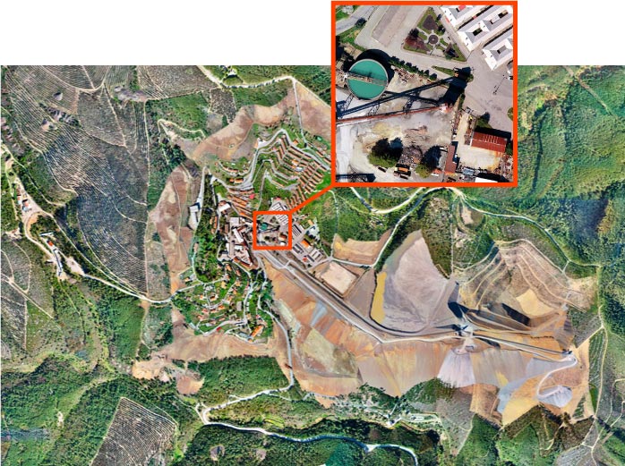
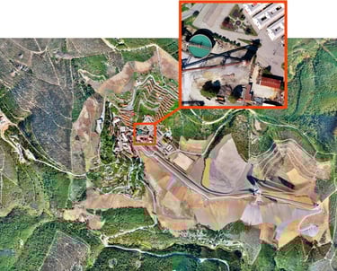
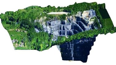
Panasqueira Mines - Barroca Grande, mapping and volume calculation of the rubble mountain
Computerised Topography
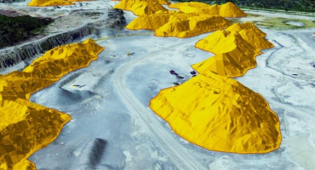
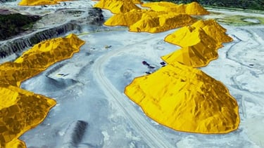
01. MATERIAL VOLUME CALCULATION
02. EXCAVATED AREA VOLUMETRICS
03. 3D TERRAIN MODELLING
Quote request
or enquiries
________________________________________________
______________________________________________________________________________________________________________________________________________________________________________________________________________________________________________________________________________________________________________________________________________________
R. Almirante César A C Rodrigues
nº16, 3º ESQ 2790-009 Carnaxide
Lisboa - PORTUGAL
Telf.: +351 962 587 575


RG DRONES © 2010 - Rodrigues e Guimarães Lda.
Terms and Conditions
Privacy Policy
Returns and Refunds Policy